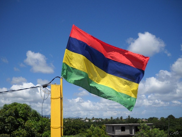
43 years of Independence & 19 years since a Republic. Happy Independence Day Mauritius!
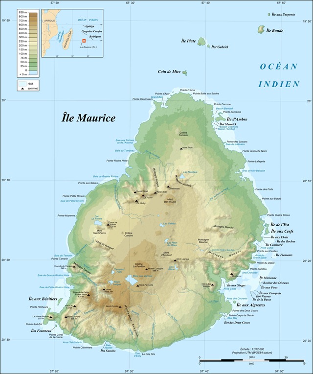
Yesterday’s earthquake & tsunami in Japan made me ponder upon the fate of our island if such a calamity occurs. Here’s a map of Mauritius showing the topology of the terrain. What if the areas <25m above sea level were flooded by a tsunami…
Result - Port Louis & parts of the North & East coast completely devastated. & with climate change diminishing our coral reef barrier, it won't be able to protect us. Only thing we can do is… stop living near the coast.
Related:


5 comments
Strangely enough, îlot Gabriel, île d'Ambre and île aux Bénitiers would still be islands... :-)
@Siganus Sutor
Kept them to give a better idea of the scale.
It must have taken you a while to photoshop the whole island, no?
Another funny exercise would be to draw Mauritius' coastline about 20,000 years ago, at the peak of the last ice age, when sea level was 100 metres lower than today. The Coin de Mire, Ile Plate, Ile Ronde and Ile aux Serpents were not islands but hills in the middle of a very large Northern plain.
climate change diminishing our coral reef barrier
Is it? I would say that Mauritians are the first reason for the degradation of our coral reef, whether by direct destruction (people walking on the reef, or using a "gale" to push their boat and anchors to moor it, or picking elements from the reef, etc. – thank God dynamite isn't used anymore) or through pollution.
@Siganus Sutor
Not really, thanks to the eraser tools.
20,000 years ago? It would be fair to assume that Mauritius would look like one single (dormant) volcano, with the crater being the Plaine Wilhems & Moka districts?
Not really. If memory serves me right there were 3 periods of volcanic activity in Mauritius and the last one was over 25,000 years ago (which would be the age of the most recent lavas found on Mauritius).
Post a Comment